![]() This application will track your walks and store them on the device.
This application will track your walks and store them on the device.
It arose from own needs to track walks without the need to create an external account or link it with for example Facebook. Nevertheless you can share your track using Facebook if you like or send it via e-mail to yourself or friends.
The application has been specially designed and tuned for walkers/hikers. This means a low energy consumption so it can track for a long time.
Please report any bugs before giving negative feedback so we can fix them as soon as possible.
How to use
Install the application from: https://play.google.com/store/apps/details?id=net.videgro.walktracker and start it. It is just another walk tracker at the store, so please check it’s the version developed by VIDEGRO.
Attention: When Location-services are switched off at your device, you will be navigated to the Location-services settings page, where you have to enable Location-services (GPS).
The application contains two tabs named ‘Track‘ and ‘Trips‘ which will respectively allow you to track a trip using your android-device and to show your recorded trips on a map. When you start the application the first time, you will see the ‘Track’-tab.
Track a trip
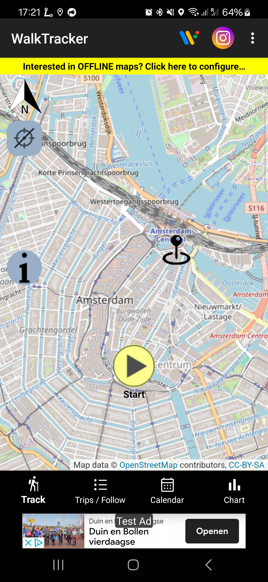 From the ‘Track’-tab you can record your trip. The pointer at the map will show your current position. Press the ‘Start‘-button at the bottom to start your trip. At the end you have to press ‘Stop‘-button to finish your trip. After pressing the Start-button you first see the text: ‘Wait for GPS’ at the top of the map. Start walking as soon this text changes in: ‘Start walk’ or when your device vibrates. You can pause a walk by pressing the ‘Pause‘-button. During pause, you will see a blinking text ‘PAUSED’ indicating this state. Resume your walk by pressing the ‘Resume‘-button. At the top of the map you will see the duration and distance of your current trip. Press the ‘i’ to open an overlay containing more information about your trip (average speed/number of points recorded) and GPS-data. Press the ‘i’ again to close it again. A track is defined as a recording of minimal 2 location points.
Show Trips
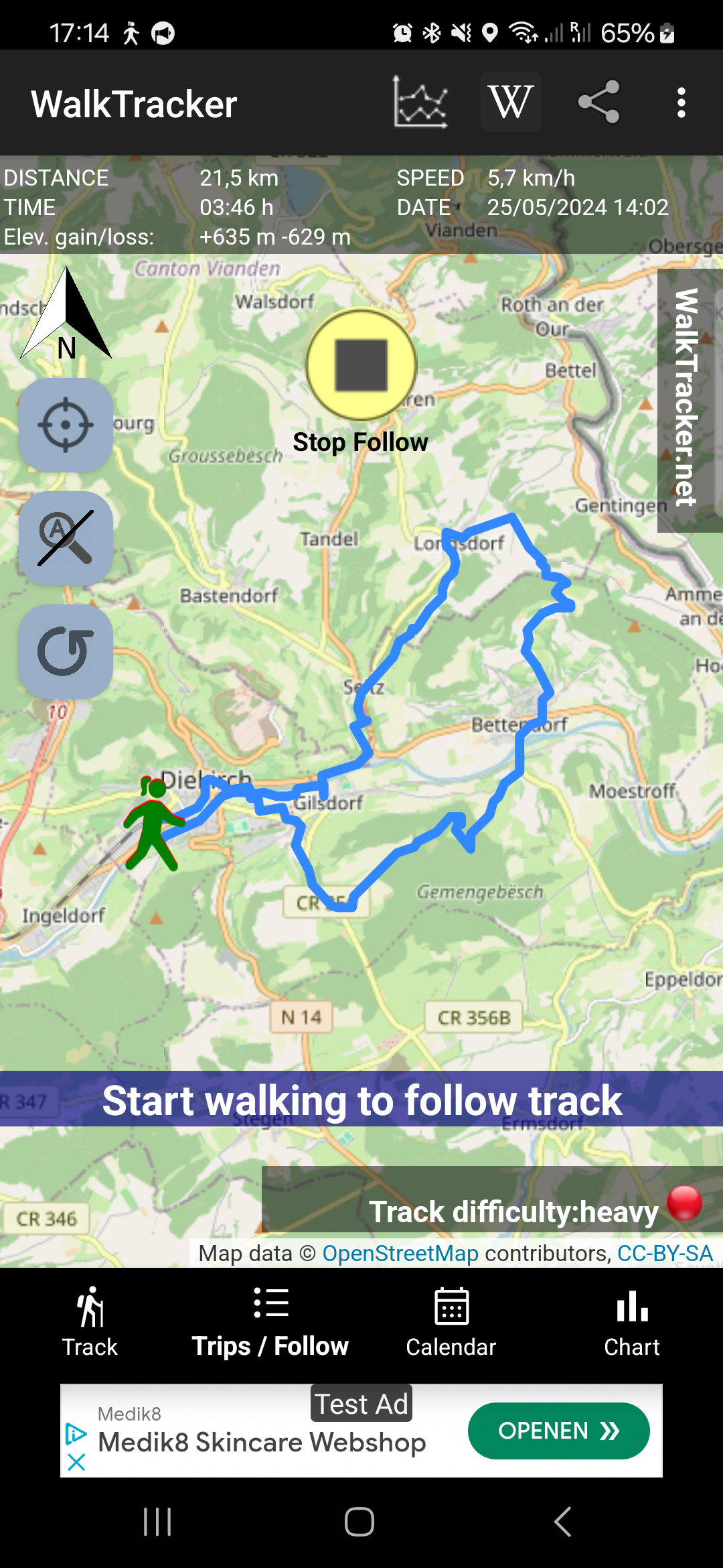 Click the ‘Trips’-tab to open a list of your recorded trips. The latest trip is at the top of the list. Click a trip to open a map containing your trip and details (distance, duration and average speed). Long press a trip to delete a trip. You can move the map, zoom in/out using the usual gestures at your touch screen. I.e. double tap: zoom in, touch, hold and move your finger to move map, two fingers touch moving to each other: zoom in, two fingers moving apart: zoom out. At the top of the screen (in the action bar) you will the share icon, press it to share your map and GPX-track by for example e-mail. Press back to return to the list of trips and select another recorded trip.
WalkTracker Wiki

It is possible to share your hike with co hikers, by posting your hike to the WalkTracker Wiki. To do so, show a trip in the app and press the ‘Share at WalkTracker Wiki’-button at the top of your screen. You can add up to 3 pictures with descriptions accompanying your hike. Besides of that you can enter a title, description of your hike, name of organizer and your name. Keep in mind that you are posting the trip to a wiki, so everybody can view it and everybody can edit it. You agree that you upload the materials to the public domain and you can not claim any copyrights afterwards.
Settings
At the top of both tabs you will find in the action bar the Settings-icon. At the settings-page you will find the running version of the application. Besides of that you can change the unit of length (kilometer or mile) and the minimal accuracy. Only location points with this accuracy will be recorded during tracking. At the bottom you will find a button, press it to visit the WalkTracker entry at the GooglePlay-store, here you can rate the application if you like. Press back to enter the main views again.
Main features
- Track walks without the need to register at a third-party
- Show the recorded walks at your device, share the recorded walk as map and GPX-file.
Tip: You can post process the GPX-files online at the website GPS Visualizer.
Secondary features
- Switch between miles and kilometers as unit of length
- Low power consumption
- High privacy
- Show notification when WalkTracker is running in the background
Explanation about requested permissions
Location
The application needs the ‘precise location (GPS and network-based) / approximate location (network-based)’-rights to track your position. Tracking is the main feature, so no more explanation is required.
Network
Allows the application to get ‘information about network state’ / ‘network access’ which is needed to retrieve OpenStreet-maps from the Internet. Besides of that it is used for retrieving ads (AdMob) and for some anonymous usage logging (Google Analytics).
Write external storage
Reflected in the permissions ‘modify or delete the contents of your USB storage’ and ‘test access to protected storage’. An image of the map with track is created at the external storage (SD card). Besides of that a GPX-file containing the points of your track is created here. When sharing, third party applications can access these files.
Vibration
The application will let your device vibrate when the application is ready to record your trip. Of course only when this function is available at your device.
Bugs / Comments
Known issue: While standing at one point (pause) the application will record some ‘ghost points’. You can decrease the number of these points by increase the accuracy (lower value in settings), but this will possibly cause that you miss some points during normal walking.
In case you experience bugs or when you have some other comments, please drop them below in the comments box.